The NYC Department of Health and the American Community Survey have been tracking of health like neighborhood walk-ability and green space, food carts or grocery stores, and health outcomes, like obesity and hypertension.
On this page, you can browse a collection of maps made using this data to get a quick view and scope of different issues.
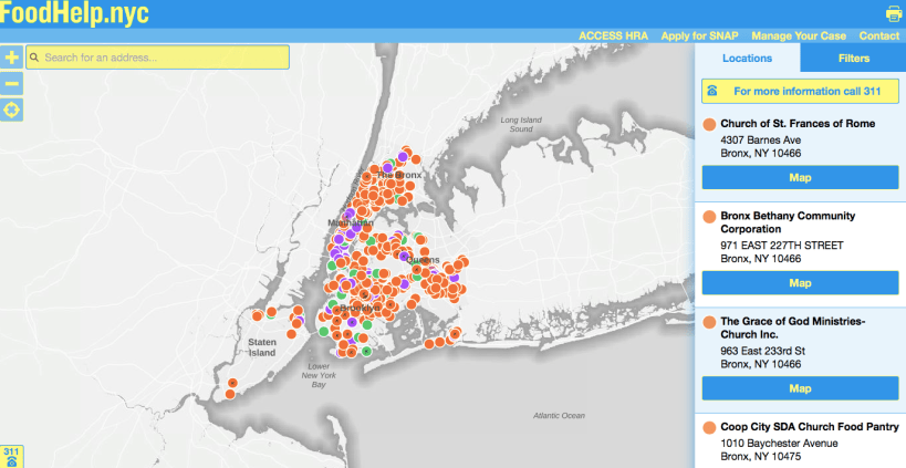
FoodHelp.nyc maps – find your closest food pantry: https://maps.nyc.gov/foodhelp/#map-page
A look at hunger and poverty throughout the US: http://map.feedingamerica.org
A map of NYC farmers markets : https://www1.nyc.gov/assets/doh/downloads/pdf/cdp/farmers-market-map.pdf
